Winter weather en route
Published 5:28 pm Tuesday, January 18, 2022
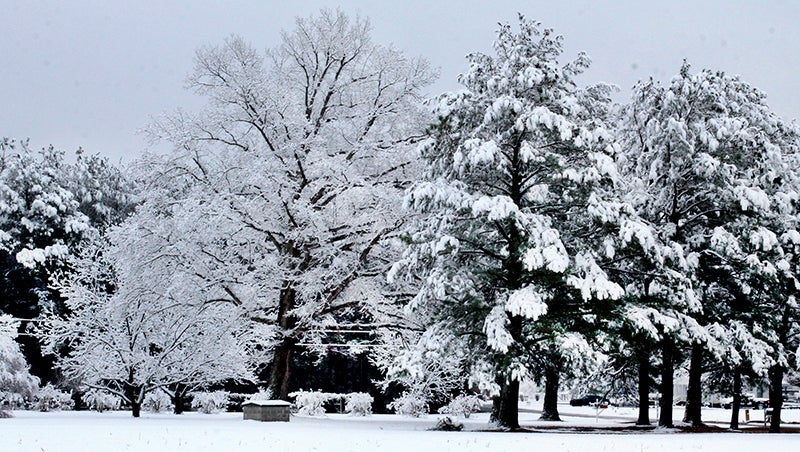
- This winter scene is from a local snowstorm a few years ago. The weather forecast for Thursday and Friday of this week may cause a repeat of what is pictured here. File Photo
|
Getting your Trinity Audio player ready...
|
(Editor’s Note: This article was written at 2 p.m. on Tuesday, Jan. 18. The weather predictions are subject to change.)
A dose of winter weather is expected to arrive locally on Thursday, but in what form will the precipitation fall and in what quantity are the questions in need of answers.
With the expected arrival on Thursday of a reinforcing shot of cold air coupled with an area of moisture tracking along our coast, the two are capable of joining forces to create a mixed bag of precipitation. But will it be snow, rain, sleet, or freezing rain and how much will fall?
As of early Tuesday afternoon, the National Weather Service office in Wakefield, VA said the current track of the storm will start out as a rain event on Thursday afternoon before changing over to snow later in the day. A light accumulation is possible on grassy and elevated surfaces.
But what comes after that remains unknown.
“There is a potential for snow and or a wintry mix later this week depending on the track of low pressure off the Carolina coast. Please monitor the latest forecast for updates,” NWS-Wakefield said in a statement on its website.
The track of the storm and whether or not a layer of warm air wedges its way into middle layer of atmosphere will prove as the determining factors of what type of precipitation falls on Thursday and Friday. If all levels of the atmosphere remain at or below 32 degrees, what falls from the sky will most likely be frozen (snow or sleet). If warm air invades at the middle layer of the atmosphere, the snow or sleet will melt. Meanwhile, if the ground surface temperature is at or below 32 degrees, those rain droplets will freeze on impact.
Freezing rain, in heavier amounts, can lead to power outages and make roads impassible.
As of 2 pm on Tuesday, NWS-Wakefield’s forecast calls for a pleasant day on Wednesday, sunny skies and a high in the mid-50’s.
On Thursday, rain is expected before 5 pm, then rain and snow. High near 48. Southwest wind 5 to 10 mph becoming north in the afternoon. Chance of precipitation is 80%. Little or no snow accumulation expected.
The snow, mainly before 1 am, is expected to continue Thursday night where the low will be around 23 degrees. Chance of precipitation is 80%.
Snow is likely to continue on Friday and Friday night where there is a 70% chance of precipitation. Friday’s high is expected in the upper 20’s with an overnight low in the upper teens.
Saturday’s forecast calls for a chance of snow before 1 pm and a high of 35 degrees.
Sunny skies are expected to return by Sunday where the high temperature will be 40 degrees with an overnight low in the upper teens.
About Cal Bryant
Cal Bryant, a 40-year veteran of the newspaper industry, serves as the Editor at Roanoke-Chowan Publications, publishers of the Roanoke-Chowan News-Herald, Gates County Index, and Front Porch Living magazine.
 More by Cal